Case Study: Benin Flooding 2009 Mapping to help determine the most affected areas – Benin
Attachments
- Download Report(PDF | 1.56 MB)
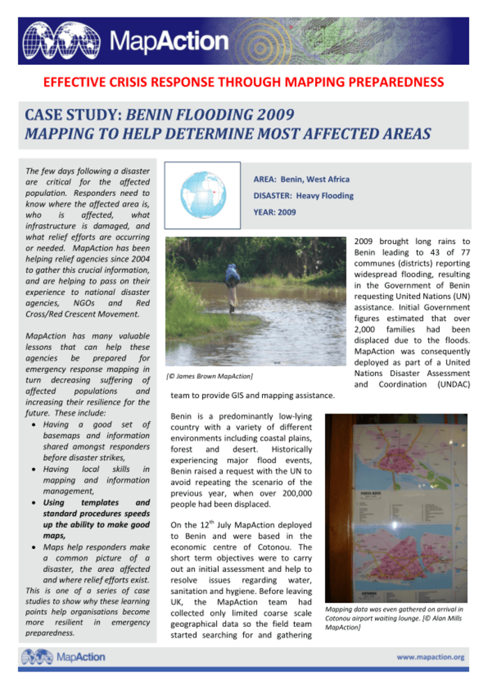
2009 brought long rains to Benin leading to 43 of 77 communes (districts) reporting widespread flooding, resulting in the Government of Benin requesting United Nations (UN) assistance. Initial Government figures estimated that over 2,000 families had been displaced due to the floods
MapAction was consequently deployed as part of a United Nations Disaster Assessment and Coordination (UNDAC) team to provide GIS and mapping assistance
Benin is a predominantly low-lying country with a variety of different environments including coastal plains, forest and desert. Historically experiencing major flood events, Benin raised a request with the UN to avoid repeating the scenario of the previous year, when over 200,000 people had been displaced
On the 12th July MapAction deployed to Benin and were based in the economic centre of Cotonou. The short term objectives were to carry out an initial assessment and help to resolve issues regarding water, sanitation and hygiene. Before leaving UK, the MapAction team had collected only limited coarse scale geographical data so the field team started searching for and gathering more detailed base mapping for this assessment as soon as they landed.
Need help choosing the right <a href="https://jiuniversity.com/despite-trumps-visa-crackdown-chinese-students-vie-for-us-university-spots/” title=”Despite Trump’s visa crackdown, Chinese students vie for US university spots”>university or study destination?
Start your FREE JIUniversity Admission Assessment today and discover the best international study pathway for your academic goals.
Source: reliefweb.int

You may also like


For our children in private universities in Benin and Togo